Community Information Session #1
The first Community Information Session was held on December 14, 2020 with a follow up Q&A session on held on December 17, 2020. The Community Information Session provided updates on the Master Plan including explanations of the Master Plan process, schedule, unique findings to-date, and upcoming stakeholder engagement opportunities.

Community Information Session #2
The second Community Information Session was held on June 24, 2021. The Community Information Session provided updates on the status of the environmental studies, design of the trail to the peak, and additional stakeholder outreach. The project team also included time for a Q&A session. However, there were many more questions that were not answered due to time constraints. The project team is working on a finalizing a summary report of all of the Q&A (including questions that were not answered) and will provide a link to the report as soon as it is finalized.
All reports and maps that were presented at the meeting are in draft form and are subject to change as the Master Plan process progresses. The current maps are only for Master Planning purposes and much of the property is still closed to public access. For current public access to Fishers Peak State Park please click here.
Community Information Session #3
The third Community Information Session was held on November 18th, 2021, at the Trinidad Community Center. Over 100 community members and other interested parties attended the meeting. The project team prepared and shared several maps with information that has been collected from the previous Community Information Sessions and the Community Survey, environmental engineers/biologists, cultural resource specialists, recreation specialists, and working group/interest group meetings.

Community Information Session #4
On April 11, 2022, the Fishers Peak team presented Master Plan materials to the public. Over 100 community members attended the presentation and provided comment on various maps and design concepts. The below video was recorded prior to the public meeting and contains the content presented to the public. The slides contain maps and design concepts shown to the public during the meeting.
Virtual Presentation (Click Here)
In addition to the public open house, there is also a complete Virtual Presentation that discusses all the information that was presented at the open house, as well as additional details about ongoing planning efforts such as tribal coordination.
Framework Concept Map (Click Here)
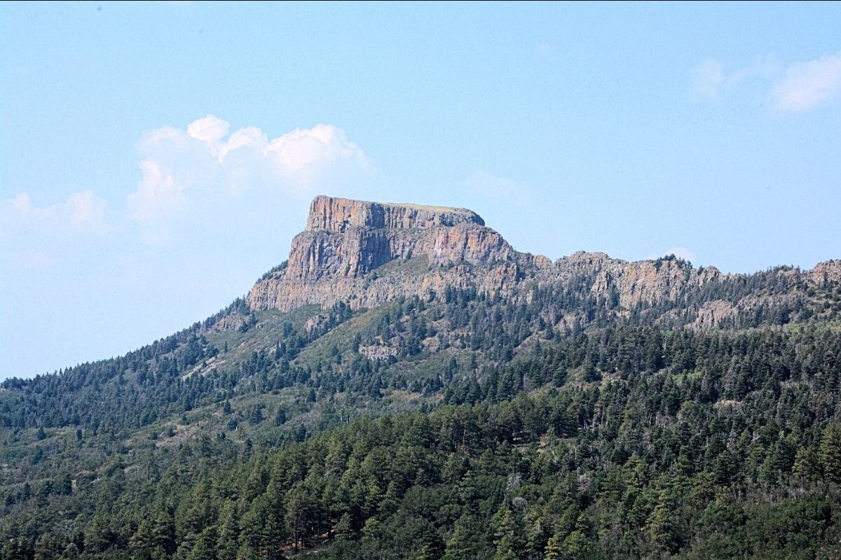
The Framework Concept Map depicts the location and layout of all current proposed recreational features for Fishers Peak State Park. This includes over 70-miles of trails (multi-use, directional, equestrian, etc.), programmed camping areas, backcountry camping areas, trailhead locations, visitor center location, and the park entrance. It also shows habitat and wildlife protection areas, trail closure areas, and seasonal access areas.
Park Features Map (Click Here)
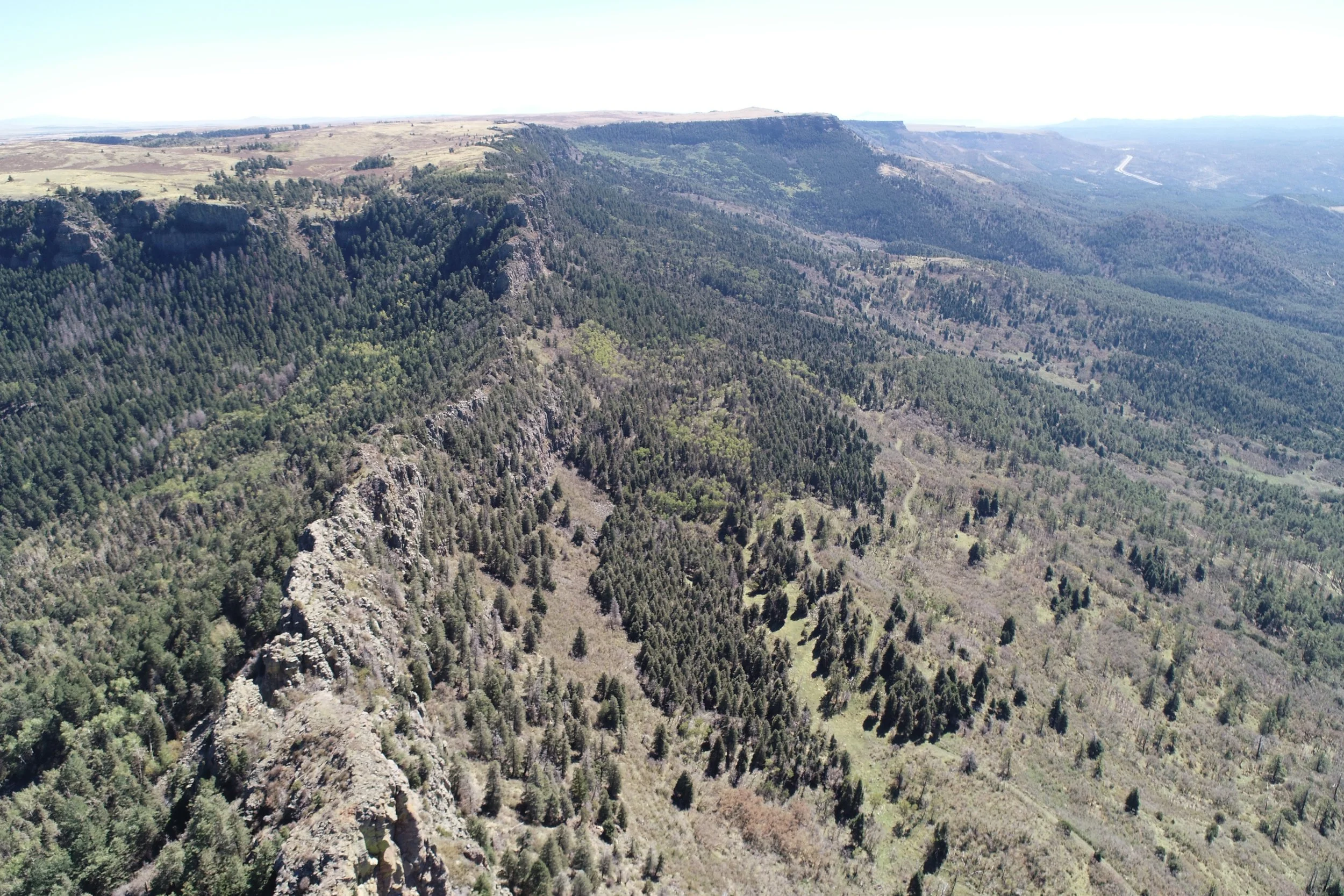
The Park Features Map is a compendium of park features that were discovered as fieldwork was being completed for possible trail corridors. Site features include views, rock outcrops, and other interesting vegetative features. This map helped identify possible points of interest that could be connected with the trail corridor planning.
Park Feature Alternatives Maps (Click Here)
This set of maps depicts locations within the park that were considered for the Main Park Entrance, Developed Camping, Trailheads, Visitor Center, and Back Country Camping. A high-level Benefits and Drawbacks chart provides information as to why certain locations for park amenities were preferable over others.
Slope and Aspect Maps (Click Here)
The Slope and Aspect Maps provide a “heatmap” for both the existing steepness and the direction of existing slopes at the park. These maps helped plan sustainable trail corridors.
Habitat Sensitivity Map (Click Here)
This map shows an overlay of sensitive environmental resources in the park. The most sensitive resources (e.g., riparian habitat, raptor nests, elk calving areas) are shown in darker shades of purple, while the least sensitive areas are shown in lighter shades. This illustration helps focus park planning to develop park infrastructure in areas with lower overall sensitivity while emphasizing habitat conservation in areas with higher sensitivity.
This map shows two existing state parks that people may be familiar with – Cheyenne Mountain and Staunton – superimposed on top of Fishers Peak State Park at the same scale. This illustrates the vast difference in the sheer size of the park, as well as the scale of infrastructure and trails in comparison to the entire park property.
Meeting Summary Report (Click Here)
This document recaps the process and key input themes from the Draft Concept phase of the Fishers Peak State Park Master Plan conducted in October and November 2021 by Colorado Parks and Wildlife and the consultant team.
The Fishers Peak Draft Master Plan was released for public review and comment from September 9th through October 9th, 2022.